
Service to Auroral Tourism
Welcome to the Service to auroral tourism sector service
Overview
Auroras are a beautiful and harmless manifestation of space weather processes. Eruptions on the solar surface can occasionally cause rapid variations in the near-Earth space environment, which are associated with bright auroras appearing at high latitudes and in extreme cases also at middle and low latitudes. Large-scale solar events, such as coronal holes, flares and coronal mass ejections are responsible for the most intense geomagnetic disturbances in the Earth's space environment. Deflections in the geomagnetic field are caused by changing electric currents in the upper atmosphere, which then result in beautiful auroral displays. The Regional Auroral Forecast service (RAF) follows continuously solar activity and variations in the geomagnetic field and can help you decide when it is a good time to put on something warm and go outside to a place with a nice view towards the Northern horizon.
Auroral light is generated in the upper parts of our atmosphere with a similar mechanism as the illumination by neon lights: in dilute gas, electrons collide with heavier atoms or molecules and as a consequence the atoms are excited. When the atoms return from the excited state back to their normal state the extra energy is released as light. In the hunt for auroras it is important to be patient and wait until your eyes get adjusted to the darkness. It is good to know that the human eye observes auroras in a different way than cameras. Our eyes see dim auroras as white or grey structures, while cameras with long enough exposure times show the same auroras as green, red or purple. With bright auroras this problem does not exist. Instead the challenge is to be in the correct place at the correct moment. Unfortunately the most beautiful sightings are often quite short-lived, so instead of going in to wake up your friends, be selfish and enjoy the show.
Read more about this service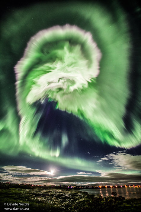
Highlights
Announcements
💡Let us know what you think about our services in our Survey.
Products and Alerts
Products
Interplanetary medium at L1
Interplanetary Magnetic Field (IMF)
- Near-Earth NRT solar wind (DSCOVR)
- Magnetic Connectivity Tool
- Automated Multi Dataset Analysis (AMDA)
- Statistical long-term plasma products - IMF Bx
- Statistical long-term plasma products - IMF By
- Statistical long-term plasma products - IMF Bz
- IMF - Interplanetary magnetic field archive
- IMF Index Nowcast 1-hour
- IMF Index Nowcast 1-minute
- SIDC Daily space weather bulletin archive
- SIDC Latest daily space weather bulletin
Solar Wind Bulk Velocity
- Near-Earth solar wind forecasts (WSA-Enlil + Ensemble)
- Empirical solar wind speed forecast
- Empirical solar wind speed forecast
- Solar wind speed forecast (STEREO-A persistence model)
- AWARE_NEXT Enhanced 24 hour solar wind forecast
- SWiFT
- Solar Wind Forecast Speed Comparison
- Near-Earth NRT solar wind (DSCOVR)
- Archive - Solar wind model for Earth [ESWF]
- Archive - Solar wind model for Earth [STA+CH]
- Archive - Enhanced 24 hour solar wind forecast [AWR_NXT]
- Archive - Solar wind model for Earth 24 hour optimised [ESWF24]
- Archive - Solar Wind Forecast Speed Comparison [SWFSC/E]
- Archive - Solar wind model for Earth [WSA-Enlil]
- Automated Multi Dataset Analysis (AMDA)
- Statistical long-term plasma products - Solar Wind Speed
- SIDC Daily space weather bulletin archive
- SIDC Latest daily space weather bulletin
Earth atmosphere and geomagnetic environment
Auroral Visible Imaging
Local External Magnetic Field on Ground
Local Geomagnetic Induced Geoelectric Field
- Maps for power and pipeline operators
- Table of modelled GIC
- Pipe-to-soil voltage (PSV)
- Horizontal electric field data (UK)
- Peak Geomagnetically Induced Current (GIC) for Scotland, England, Wales and the UK
- Average Geomagnetically Induced Current (GIC) for Scotland, England, Wales and the UK
- Peak Pipe-to-Soil Potential (PSP) for Scotland, England, Wales and the UK
- Average Pipe-to-Soil Potential (PSP) for Scotland, England, Wales and the UK
- 3-hourly Telluric index (Lerwick, Eskdalemuir, Hartland)
- GIC Index, Bgic for the UK
- Modelled surface electric field for UK and Ireland
Tools
User Manual
The most beautiful manifestation of space weather is the aurora. Several products available here are tailored for the auroral tourism sector and these are grouped under Auroral Visible Imaging:
- The Aurora forecast service (Regional Aurora Forecast, RAF) by the Finnish Meteorological Institute (FMI). This product shows a map with the estimated location of the auroral oval and, as supporting information cloudiness predictions. The product also contains features such as a set of three “lamps” which turn to red in the cases where the National Oceanic and Atmospheric Administration (NOAA) has issued alerts of enhanced Kp values or on solar flares during the recent 2-3 days.
- Auroral images (Scotland) by the British Geological Survey (BGS). The product provides auroral images for northern UK (Eskdalemuir and Lerwick observatories) during the winter season.
- The Auroral data from Kiruna by the Swedish Institute of Space Physics (IRF), containing optical auroral data for northern Sweden during the winter season.
- Aurora nowcast for Greenland by the Technical University of Denmark (DTU). The product contains a map that show the latest estimated position of the polar ionospheric electrojet, and thus the auroral oval in the north.
Interruptions
None
